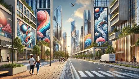
Urban planning and design are crucial for creating functional, aesthetically pleasing, and sustainable urban spaces and public infrastructure. With the advancement of technology, particularly computer-aided design (CAD), the way in which architects, engineers, and urban planners approach the design and development of urban areas has significantly evolved.
Understanding Computer-Aided Design (CAD)
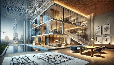
CAD is a technology that has transformed the way design concepts are created, developed, and presented. It allows professionals to create precise and detailed 2D and 3D models of various structures, including buildings, roads, bridges, and public spaces. CAD software provides tools for visualization, simulation, and documentation that enhance the design process and enable more accurate communication of design intent.
Enhancing Urban Space Design
1. Conceptualization and Visualization: CAD enables designers to create virtual models of urban spaces, facilitating the exploration of design possibilities and the visualization of how people will interact with the space. This aids in improving the efficiency and functionality of urban spaces.
2. Precision and Accuracy: CAD allows for precise detailing and accurate measurements, ensuring that every aspect of the design, such as building dimensions, walkways, and landscaping, is meticulously planned and executed.
3. Sustainable Design: CAD software supports the integration of sustainable elements into urban space design, such as green infrastructure, energy-efficient systems, and environmentally friendly materials.
Impact on Public Infrastructure Design
1. Efficient Planning and Management: CAD streamlines the design and planning of public infrastructure projects, such as roads, bridges, and transportation systems, by providing tools for efficient layout design, traffic flow analysis, and infrastructure management.
2. Safety and Accessibility: CAD allows for the accurate assessment of safety and accessibility considerations, ensuring that public infrastructure is designed to accommodate diverse user needs and comply with regulatory standards.
3. Collaborative Design and Communication: CAD facilitates collaboration among architects, engineers, and urban planners, enabling seamless communication and integration of various design elements for public infrastructure projects.
The Future of Urban Design with CAD
The influence of CAD on urban space and public infrastructure design continues to evolve with advancements in technology. The integration of parametric and generative design techniques, along with the use of virtual reality and augmented reality, is reshaping the way designers conceptualize, visualize, and implement urban projects.
Conclusion
The utilization of CAD in urban design is profoundly shaping the modern urban landscape, leading to the creation of sustainable, innovative, and inclusive urban spaces and public infrastructure. The precise and collaborative nature of CAD empowers designers to address the complex challenges of urban development, ultimately contributing to the creation of vibrant and livable cities.


